
Winter Springs ZIP Coverage
The principal Winter Springs street-delivery ZIP is not the whole municipal map. One associated code serves post-office boxes, while Census geography reports three nearby ZCTAs, generalized ZIP-like areas, as partly intersecting the legal city. Each specific address still needs USPS and GIS checks.
| ZIP Code | Areas Covered | Post Office | Notes |
|---|---|---|---|
| 32708 | Principal street delivery; Tuscawilla and central/eastern neighborhoods | Winter Springs postal area | Delivery boundary does not equal city limits |
| 32719 | Winter Springs-associated PO boxes | Winter Springs boxes | Not a general street-residence code |
| 32707 | Legal-city fringe near Casselberry | Casselberry delivery name | Most of the ZIP lies outside Winter Springs |
| 32750 | Fringe near Longwood | Longwood delivery name | Partial city/ZCTA intersection |
| 32765 | Eastern fringe near Oviedo | Oviedo delivery name | Verify the parcel jurisdiction |
These categories are compatible. USPS designs delivery routes, Census ZCTAs approximate ZIP geography with census blocks, and Winter Springs draws legal municipal limits. A box-only code need not have a ZCTA polygon at all. The research found no official dated ZIP split or stable neighborhood-by-neighborhood USPS boundary map.
Verify a Winter Springs ZIP
Enter a full address in the USPS ZIP Code Lookup before searching public rolls. USPS can confirm the preferred mailing city and ZIP for the entered line, but it does not decide whether the property is legally inside Winter Springs.
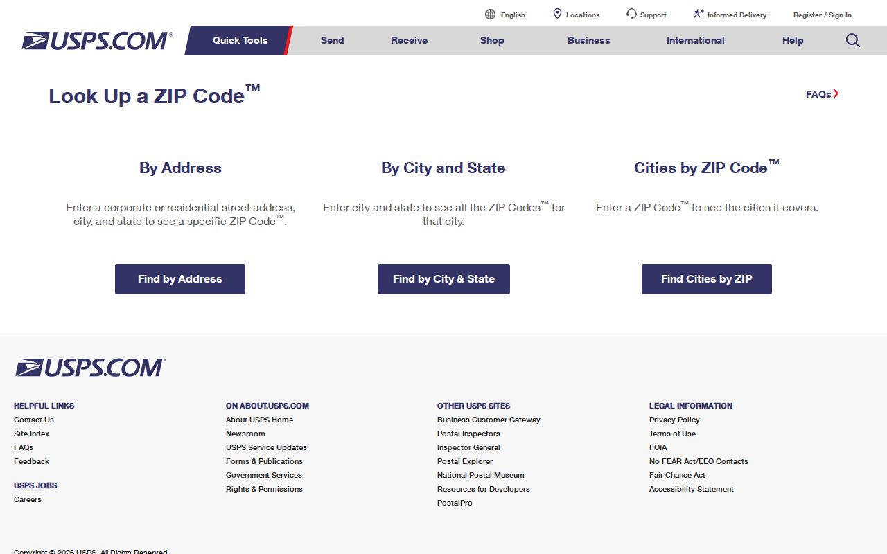
The returned postal line becomes a search key. Next, open the parcel record and city or county GIS to confirm situs, jurisdiction, and legal description. If the mailing city differs from the municipal name, keep both labels in the research notes.
| Field or check | What it answers | What it cannot prove |
|---|---|---|
| Street address | Current USPS delivery format | City jurisdiction |
| City and state | Preferred postal label | Parcel ownership |
| ZIP or ZIP+4 | Delivery area or segment | Neighborhood or voting district |
| Parcel GIS | Legal city and mapped parcel | Every household member |
Find Winter Springs Residents by ZIP
A ZIP-wide resident search should narrow geography without pretending the ZIP is a household list. The Property Appraiser can search and export parcel data, while the voter custodian may supply a lawful geographic extract. The public individual voter tool is not a browse-all-people-by-ZIP service.
- Confirm the address and ZIP through USPS. Preserve the exact postal city and ZIP+4 if returned.
- Open the Seminole County Property Appraiser record. Compare property situs, owner mailing, parcel number, and legal description.
- Use parcel GIS to test whether the site falls inside Winter Springs. Do not infer jurisdiction from the postal city alone.
- For a voter-geography request, ask the Supervisor of Elections for the available lawful format and exclude protected addresses.
- Once the area is narrow, use the Winter Springs street directory process for address-level work.
Keep the date beside each result. Parcel data, voter data, and postal assignments update on different schedules, so a match from one system should be checked in another.
Winter Springs Box ZIP 32719
ZIP 32719 is associated with Winter Springs post-office boxes. It does not identify a street residence. A person or organization may receive mail there while living or operating elsewhere, so the box code cannot support a claim about a physical parcel.
The official USPS facility entry identifies the Winter Springs Post Office at 1065 E. State Road 434. Its stated retail hours are weekdays 9 a.m. to 5 p.m. and Saturday 9 a.m. to noon, with 24-hour PO Box access. Verify current hours and a specific box assignment with USPS.
When a public record shows 32719, look for a separate situs, service, principal, or property address. The parcel roll is the strongest local source for the physical land address.
Three Winter Springs Address Types
A sound ZIP code lookup keeps three address concepts apart. A parcel card may show all three, but each serves a different purpose. Confusing them can place a person or property in the wrong part of Winter Springs.
- Situs address
- The physical location assigned to the parcel.
- Owner mailing address
- Where the appraiser sends assessment correspondence; it may be outside the city or state.
- Legal description
- The subdivision, lot and block, or metes-and-bounds text that defines the land.
- ZIP+4
- A base ZIP plus four digits that narrow a delivery segment, not a municipal district.
- Carrier route
- A postal delivery path that can cross other civic boundaries.
The legal description is the most stable bridge when addresses, postal names, or parcel identifiers change. The county warns that some parcel IDs changed in 1996, so even a current 17-digit number should not be treated as a permanent historic key.
Winter Springs Assigns City Addresses
Winter Springs has its own addressing agent. Community Development handles assignments for sites inside the city, and the city forms hub provides an Address Assignment Request Application. The office is at 1126 E. State Road 434, with the published phone 407-327-5963 and weekday hours from 8 a.m. to 5 p.m.
Seminole County assigns unincorporated addresses and then synchronizes municipal assignments into a single GIS/E911 map used for emergency response. The county incorrect-address process asks for the parcel ID, address, ZIP, problem description, and requester contact details. This city-county handoff is why GIS is essential when postal and civic labels disagree.
Note: A Winter Springs mailing label does not decide which government should receive a permit, code, police, or records request.
North Orlando ZIP Record Trap
Winter Springs was incorporated as North Orlando in 1959 and adopted its current name in 1972. Older plats, deeds, directories, and news references may use the former name even when the same land now carries a Winter Springs mailing label.
The city's history account supplies the local naming context shown below.
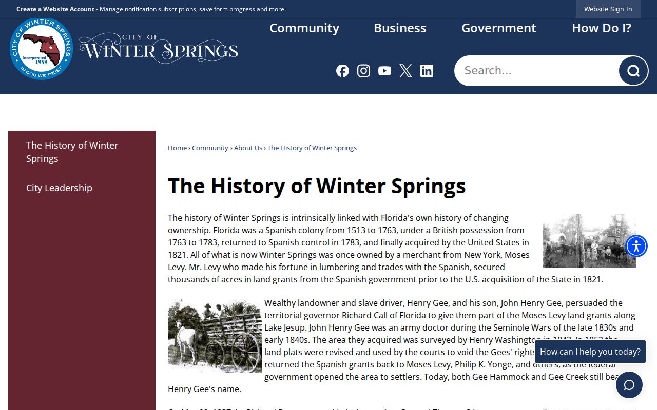
Search both city names, plus Seminole County, the subdivision, and the legal lot and block. This approach bridges records made before the rename without assuming that a later ZIP existed in the same form.
Read Winter Springs ZIP Data
ZIP statistics need a named geography and year. Census tables normally report ZCTAs, not live USPS delivery routes. A count labeled 32708 may therefore include blocks outside Winter Springs, while a city total can include fringe blocks assigned to another postal name. Compare like with like before using population or household figures.
For parcel research, the appraiser and GIS are more precise than a broad ZCTA table. The appraiser's detailed system supports address, owner, parcel, subdivision, facility, and buffer modes. Parcel results can expose situs ZIP, mailing details, subdivision, and the legal description. GIS downloads list parcel polygons and street centerlines on published update cycles, which is useful for geographic work but still does not make the parcel owner an occupant.
A geographic voter-file extract is another distinct product. Florida voter files may include residence geography, precinct, districts, and participation history, but protected addresses and confidential identifiers must be withheld. Ask the Supervisor of Elections what fields and formats are currently available. Do not try to reconstruct a protected address by joining it to other rolls.
Broad ZIP summaries work best for area context. A claim about one Winter Springs address should rest on USPS verification, parcel GIS, and the correct city or county custodian.
Winter Springs ZIPs Versus Limits
ZIP 32708 is delivery geography, not a tracing of the Winter Springs city line. Census results also show parts of 32707, 32750, and 32765 intersecting the legal city near Casselberry, Longwood, and Oviedo. Most land in those ZIP areas may lie elsewhere. Verify each parcel rather than assigning jurisdiction from the ZIP.
The Census geography resources explain the block-based data used for ZCTA summaries. ZCTAs are useful for broad analysis but are not USPS routes or municipal boundaries.
For a records request, send parcel and permit matters to the custodian with legal authority over the address. City permits cover municipal parcels, while Seminole County offices still keep deeds, assessments, courts, and elections.
- ZIP
- A USPS delivery code, not a legal city boundary.
- PO-box ZIP
- A code tied mainly to boxes rather than street delivery.
- ZCTA
- A Census approximation built from census blocks for statistics.
- Municipal limit
- The legal border of the incorporated city.